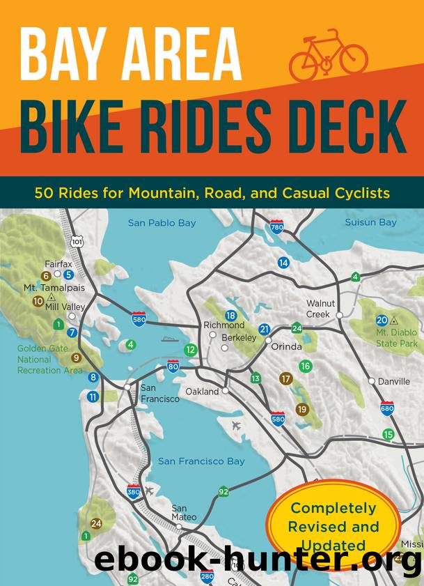
Bay Area Bike Rides Deck by Ray Hosler
Author:Ray Hosler [Hosler, Ray]
Language: eng
Format: epub
Publisher: Chronicle Books LLC
Published: 2020-01-14T16:00:00+00:00
25. CAÃADA ROAD
San Mateo County deserves a gold star for encouraging family cycling. Every Sunday from 9 a.m. to 3 p.m. the parks department closes Cañada Road for non-motorized recreational use between the Filoli Center entrance and Highway 92. An eight-mile ride free of cars starts on Edgewood Road. Although the road has plenty of riders on Sunday, congestion isnât a problem. Gorgeous scenery makes this ride memorable. There are the blue waters of Upper Crystal Springs Reservoir, nestled in a valley overlooked by a forested hillside. On summer evenings, fog spills over the Santa Cruz Mountains accompanied by a refreshing breeze. San Francisco Watershed lands surrounding the lake are among the most pristine in California. In addition, the Pulgas Water Temple beckons with its Roman architecture next to Cañada Road. Water piped in from the Sierra Nevada via the Hetch Hetchy pipeline can be seen and heard gushing out and flowing into the Crystal Springs reservoirs. The reservoirs were built in 1877 (Upper) and 1888 (Lower) to store water for burgeoning San Francisco. One of Californiaâs wealthiest residents, William Bourn II, built his summer home here in 1917 and called it Filoli. The second owner, William P. Roth, donated the estate to the National Trust for Historic Preservation in 1975. Today itâs world-renowned for its spectacular flower gardens. Another popular recreation venue, a few miles up the road on Skyline Boulevard at Crystal Springs Road, is Sawyer Camp Trail. It winds through the forest next to the Lower Crystal Springs Reservoir shoreline. Closest freeway and city: Interstate 280, San Carlos.
MILEAGE LOG > Since there is so little traffic on Cañada Rd. beyond the barricade, the ride starts at Edgewood Rd., where most people park their cars. 1.25 Filoli Estate entrance. 1.6 Pulgas Water Temple. Drinking fountain. 3.7 Ralston Ave. bike trail. 4.0 Hwy. 92. Turn around. 8.0 End ride.
Elevation: +/â 539 ft
Download
This site does not store any files on its server. We only index and link to content provided by other sites. Please contact the content providers to delete copyright contents if any and email us, we'll remove relevant links or contents immediately.
Shoe Dog by Phil Knight(5322)
The Rules Do Not Apply by Ariel Levy(5022)
Walking by Henry David Thoreau(3999)
How to Read Water: Clues and Patterns from Puddles to the Sea (Natural Navigation) by Tristan Gooley(3507)
I'll Give You the Sun by Jandy Nelson(3496)
Running Barefoot by Amy Harmon(3480)
Crazy Is My Superpower by A.J. Mendez Brooks(3449)
How to Read Nature by Tristan Gooley(3389)
How Music Works by David Byrne(3327)
The Boy, the Mole, the Fox and the Horse by Charlie Mackesy(3185)
The Fight by Norman Mailer(2989)
Cuba by Lonely Planet(2679)
Seducing Cinderella by Gina L. Maxwell(2669)
Going Long by Editors of Runner's World(2394)
Accepted by Pat Patterson(2391)
The Unfettered Mind: Writings from a Zen Master to a Master Swordsman by Takuan Soho(2351)
Backpacker the Complete Guide to Backpacking by Backpacker Magazine(2267)
The Happy Runner by David Roche(2266)
Trail Magic by Trevelyan Quest Edwards & Hazel Edwards(2217)
